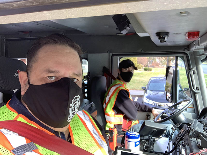
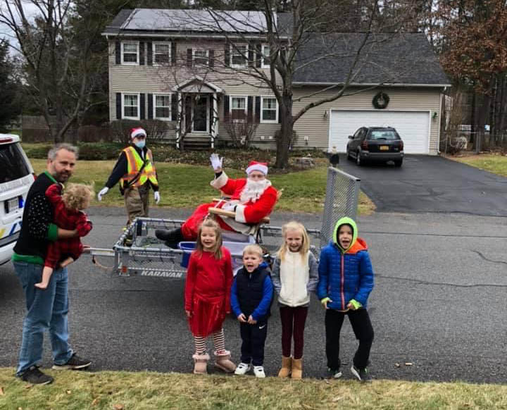
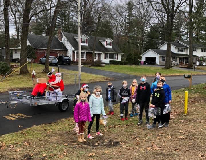
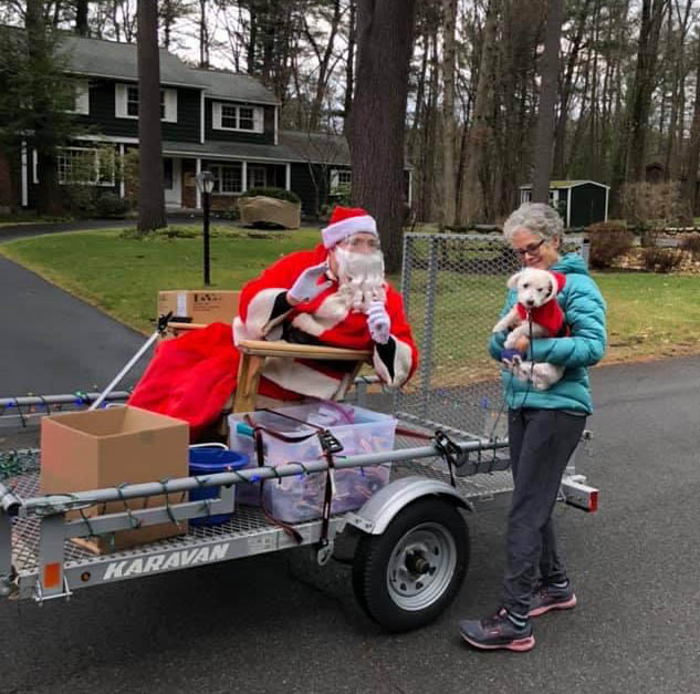
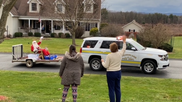
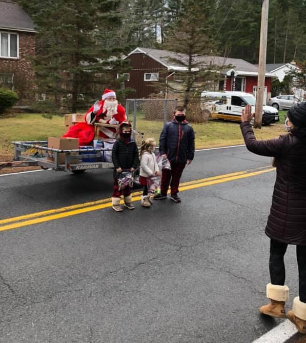
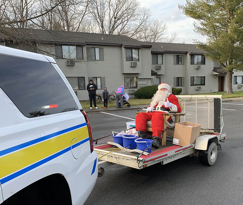
At last, here are the details of Santa’s visit with us. This year will be very similar to years past. In an effort to make things as easy as possible for everyone we have two maps below which outline Santa’s travel plan. In addition our members will make updates on Facebook as we move along so you can track our progress.
We will have two teams Santa North and Santa South, so make sure to check our maps to see which one you’re area falls under. As we provide live updates we will indicate which team we are with which will allow you to track the postings specific to where you live.
The roads highlighted in red are the main roads Santa will travel down. While we may at times deviate down some of the side streets on Santa’s path we can’t guarantee we will visit every street so your best bet is to find the closest point along the red defined route.
We will post more updates Sunday morning as Santa is getting ready to depart the fire house so please check back often.
Safety Note: Santa will not stop on Route 20 for any reason as it is too dangerous with traffic.
Santa North Team:
Schoolcraft > Hamilton > Willow to Pinewood, Victoria & Bonnie > Upper Willow > Siver to Legion & Suzanne > Bell Ct. & Papa Place > Old State to Northern & Southern Parkway > Ridgehill & Greenthorne > Highland & Okara > Liberty Ct. & Nathaniel Dr.
Click Here to download a Map of Santa North Team’s Route
Santa South Team:
Fairwood > Mill Hill > Campus club > Nott Rd. > 146 & Timothy > Prescott Woods & Halfmoon > Vosburgh > 20 West > Parkview & Morningside
Click Here to download a Map of Santa South Team’s Route

